Git Product home page Git Product logo

django-user-map's Introduction

InaSAFE

InaSAFE Screenshot

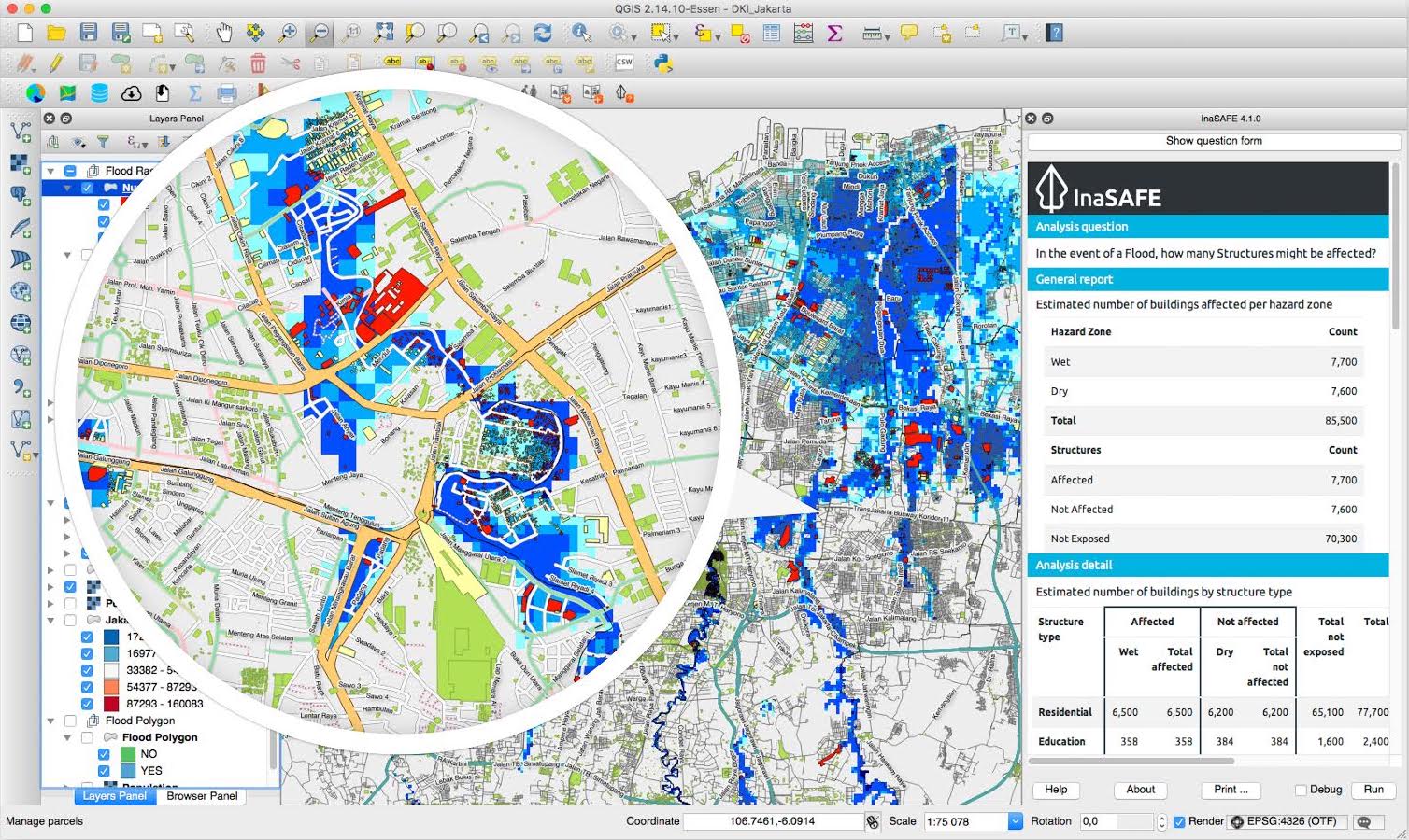
InaSAFE is free software that allows disaster managers to study realistic natural hazard impact scenarios for better planning, preparedness and response activities. InaSAFE is a plugin for QGIS.

For more information about InaSAFE and its documentation please visit inasafe.org.

The latest source code is available at https://github.com/inasafe/inasafe, which contains modules for risk calculations, GIS functionality and functions for impact modelling.

  • Current Travis test status master: Travis Build Status
  • Current Landscape code health master: Landscape Code Health
  • Current Travis test status develop: Travis Build Status
  • Current Landscape code health develop: Code Health
  • PyPi Downloads for InaSAFE: PyPI version
  • PyPi Downloads for the old 'safe' library (currently unmaintained): PyPI version
  • Github download: Github All Releases

Quick Installation Guide

You first need to have QGIS installed. Grab your free copy from the QGIS download page.

To install the InaSAFE plugin, use the plugin manager in QGIS:

Plugins โ†’ Manage and Install Plugins

Then search for "InaSAFE", select it and click the install button. The plugin will now be added to your plugins menu.

Note: You may need to restart QGIS if upgrading from a prior version.

Participation

We work under the philosophy that stakeholders should have access to the development and source code, and be able to participate in every level of the project - we invite comments, suggestions and contributions. See our milestones list and our open issues list for known bugs and outstanding tasks. You can also chat live with our developers and community members using the link below.

Join the chat at https://gitter.im/AIFDR/inasafe

System Requirements

  • A standard PC with at least 4GB of RAM running Windows, Linux or Mac OS X
  • The QGIS Open Source Geographic Information System (http://www.qgis.org). Although InaSAFE will probably run on any version of QGIS version above 2.0 or newer, our supported version is the latest Long Term Release version of QGIS.

Running tests

  • InaSAFE is using the Unittest Python framework.
  • Different ways that you can run tests:
    • On Travis using a Pull Request
    • In QGIS Desktop if you enable developer mode in Plugins -> InaSAFE -> Options -> Advanced, restart QGIS and then click the run tests button.
    • Using docker make docker-test
    • Using PyCharm if you set up the dev environment with the qgis_prefix_path

History

  • In March 2011, Risk In A Box (the predecessor to InaSAFE) was built as a web application running as a GeoNode Plugin.
  • InaSAFE development as a QGIS plugin started in January 2012.
  • In October 2012, version 1.0 of InaSAFE was launched at the 5th Asian ministerial conference on disaster risk reduction (AMCDRR) where it was demonstrated to the then president of Indonesia, Susilo Bambang Yudhoyono who praised the project.
  • On 30 Jan 2013, InaSAFE was awarded the prestigious Black Duck Open Source Rookie of the Year Award.
  • Version 2.0 of InaSAFE was released in January, 2014.
  • Version 3.0 was released in March 2015 which added support for using the QGIS API within impact functions.
  • Version 4.0 was released in March 2017.
  • Version 5.0 was released in November 2018 which add support for QGIS 3.x

Disclaimer

InaSAFE has been jointly developed by the Indonesian Government-BNPB, the Australian Government, the World Bank-GFDRR and independent contributors. These agencies and the individual software developers of InaSAFE take no responsibility for the correctness of outputs from InaSAFE or decisions derived as a consequence.

License

InaSAFE is free software: you can redistribute it and/or modify it under the terms of the GNU General Public License version 3 (GPLv3) as published by the Free Software Foundation.

The full GNU General Public License is available in LICENSE.txt or http://www.gnu.org/licenses/gpl.html

Disclaimer of Warranty (GPLv3)

There is no warranty for the program, to the extent permitted by applicable law. Except when otherwise stated in writing the copyright holders and/or other parties provide the program "as is" without warranty of any kind, either expressed or implied, including, but not limited to, the implied warranties of merchantability and fitness for a particular purpose. The entire risk as to the quality and performance of the program is with you. Should the program prove defective, you assume the cost of all necessary servicing, repair or correction.

Limitation of Liability (GPLv3)

In no event unless required by applicable law or agreed to in writing will any copyright holder, or any other party who modifies and/or conveys the program as permitted above, be liable to you for damages, including any general, special, incidental or consequential damages arising out of the use or inability to use the program (including but not limited to loss of data or data being rendered inaccurate or losses sustained by you or third parties or a failure of the program to operate with any other programs), even if such holder or other party has been advised of the possibility of such damages.

django-user-map's People

Contributors

akbargumbira avatar timlinux avatar

Stargazers

 avatar  avatar  avatar

Watchers

 avatar  avatar  avatar  avatar  avatar  avatar  avatar  avatar  avatar  avatar  avatar  avatar  avatar  avatar  avatar  avatar  avatar  avatar  avatar  avatar  avatar  avatar  avatar  avatar  avatar  avatar  avatar  avatar  avatar  avatar  avatar  avatar

Forkers

timlinux grvhi

django-user-map's Issues

Cannot use forgot password function

As written in the title, I did not receive any e-mails or instruction to reset my password. I don't know if it relates to issues #63. Since when I searched in the e-mail, I did not received any confirmation e-mail.

InaSAFE User Map - Users

Problem 1

In the current implementation of the user map http://users.inasafe.org/ it is possible for users to plot themselves in a different world to most users (ie User Wency) who is a whole world west of everyone else.

Proposed solution 1

make all the users plot in the same world

Problem 2

In the current implementation of the user map http://users.inasafe.org/ it is only possible for a user to be a user, trainer or developer. Do we need to allow individuals to identify as more than one type without making multiple entries to the user map?

Proposed solution 2

allow users to have many roles

cc

@akbargumbira @iyan31 @timlinux

Provide 2 Markers for InaSAFE and OSM project

Problem

There will be 3 markers:

  • for InaSAFE (the user only has InaSAFE role(s))
  • for OSM (the user only has OSM role(s))
  • for InaSAFE and OSM (the user has InaSAFE role(s) AND OSM role(s))

InaSAFE User Map - AIFDR projects

Problem

There is an increasing desire for important people to know where Australian Govt funded projects are occurring.

Proposal

That we consider a Project map that allows users to visually assess the alignment between different activites: ie the map might include information such as AIFDR priority provinces, locations where hazard data exist (by hazard), locations where contingency plans have been written (by hazard) +/- where trainers are available. I guess this list will get much longer.

Purpose

Map users would be able to visually see alignment between different AIFDR activities & use it to explain programs to others, justify decisions & priorities

Proposed solution

This additional functionality should be considered as a lower priority than the core user and event functions, but should be taken into consideration in the overall project design. That if this idea is supported, the initial map should address AIFDR needs not whole of DFAT in the first instance.

cc

@akbargumbira @iyan31 @wonderchook @KateChapman @davidr007 @griffij

Change user model and update all the behavior as the implication

The mandatory fields:

  • Name
  • Email
  • Image
  • InaSAFE:
    • User
    • Trainer. Certified Trainer (assigned by admin user)
    • Developer
  • OpenStreetMap
    • Mapper
    • Trainer. Certified Trainer (assigned by admin user)
    • OSM Username (will be active if at least one of above roles is checked)

Data import/export feature

During training we often got the list of participants in a spreadsheet format. It would be great if we can import this list directly into the map. The spreadsheet can have a standardize column format as the form in the website.

On the other hand, the export feature will be useful as well, so that user can download list of user in particular location or bounding box.

Email old map users and ask them to re-add themselves to the new map

As we already have 66 users registered at the moment, we need to migrate those registered users to the new system.

My suggestion is to:

  1. Migrate all users to the new db with:
    • is_confirmed == true
    • is_admin == false
    • is_active = true
    • with random password
  2. Mail all those users their random password and the link to set new password.

@timlinux: Any suggestion to do this? Thanks

Recommend Projects

  • React photo React

    A declarative, efficient, and flexible JavaScript library for building user interfaces.

  • Vue.js photo Vue.js

    ๐Ÿ–– Vue.js is a progressive, incrementally-adoptable JavaScript framework for building UI on the web.

  • Typescript photo Typescript

    TypeScript is a superset of JavaScript that compiles to clean JavaScript output.

  • TensorFlow photo TensorFlow

    An Open Source Machine Learning Framework for Everyone

  • Django photo Django

    The Web framework for perfectionists with deadlines.

  • D3 photo D3

    Bring data to life with SVG, Canvas and HTML. ๐Ÿ“Š๐Ÿ“ˆ๐ŸŽ‰

Recommend Topics

  • javascript

    JavaScript (JS) is a lightweight interpreted programming language with first-class functions.

  • web

    Some thing interesting about web. New door for the world.

  • server

    A server is a program made to process requests and deliver data to clients.

  • Machine learning

    Machine learning is a way of modeling and interpreting data that allows a piece of software to respond intelligently.

  • Game

    Some thing interesting about game, make everyone happy.

Recommend Org

  • Facebook photo Facebook

    We are working to build community through open source technology. NB: members must have two-factor auth.

  • Microsoft photo Microsoft

    Open source projects and samples from Microsoft.

  • Google photo Google

    Google โค๏ธ Open Source for everyone.

  • D3 photo D3

    Data-Driven Documents codes.