Git Product home page Git Product logo

sa-maps's Introduction

SA Maps

South African Shapefiles, GIS data and other useful mapping stuff

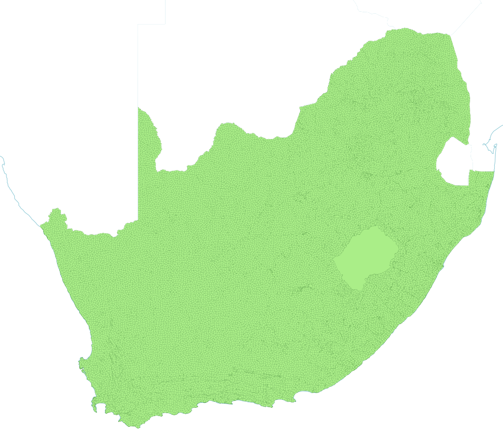
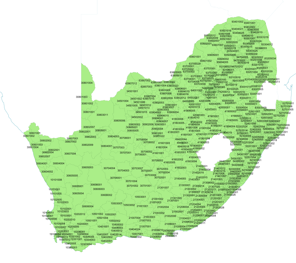
CSIR Mesozones

CSIR Mesozones

Source: http://www.gap.csir.co.za/download-maps-and-data

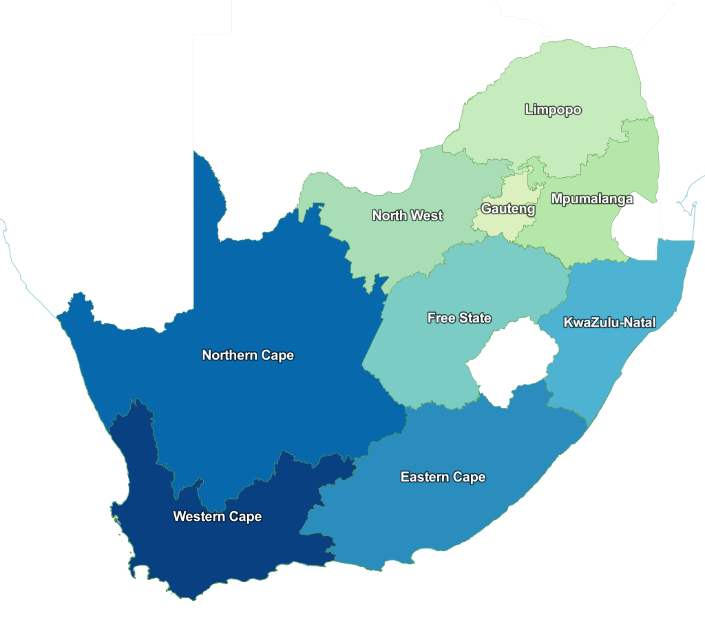
Provinces

Provinces

Source: http://www.demarcation.org.za/

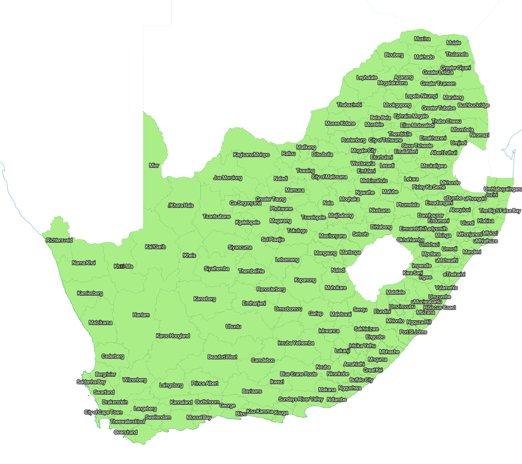
Local Municipalities

Municipalities

Source: http://www.demarcation.org.za/

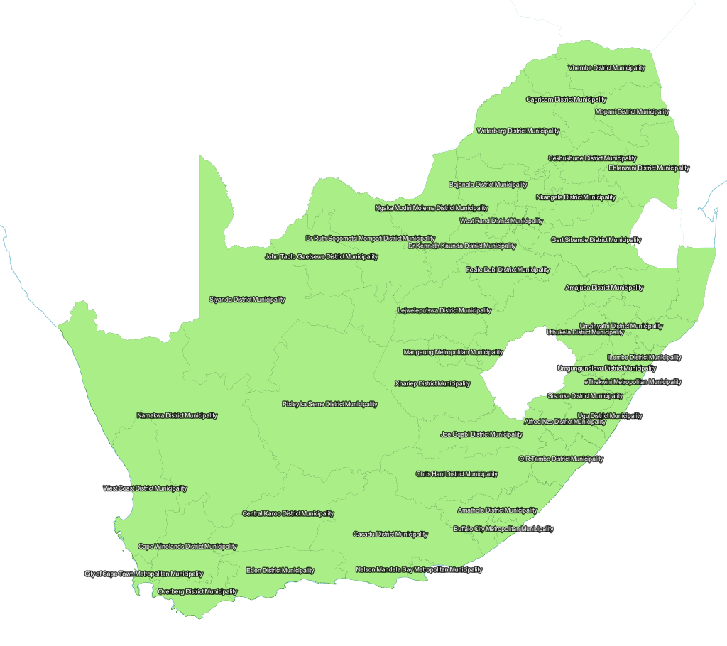
Districts

Districts

Source: http://www.demarcation.org.za/

Wards

Wards

Source: http://www.demarcation.org.za/

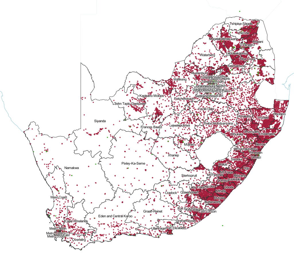
Schools

School data includes all the schools in South Africa according to the Dept of Education (data for 2012 and 2013), plus education districts. Please note that education districts don't seem to be 100% accurate, especially in North West, and there are no school district names provided by the Department of Basic Education for Mpumalanga. Weird.

Schools

Source: http://www.education.gov.za/EMIS/EMISDownloads/tabid/466/Default.aspx

Command we used for making CSV smaller (2012 data): cut -d, -f 1,5-6,11,25-26,31,33,35,37,39,48-65,100-101 input.csv > output.csv

Command we used for making CSV smaller (2013 data): cut -d, -f 1,4-5,10,13,15,29-30,40,42,44,45-46,50,58-75,116-118 National_Schools_Q1_2013.original.csv > National_Schools_Q1_2013.csv

Command we used for changing GIS_Lat and GIS_Long to latitude and longitude (2012 data only): sed 's/GIS_Lat/latitude/' input.csv | sed 's/GIS_Long/longitude/' > output.csv

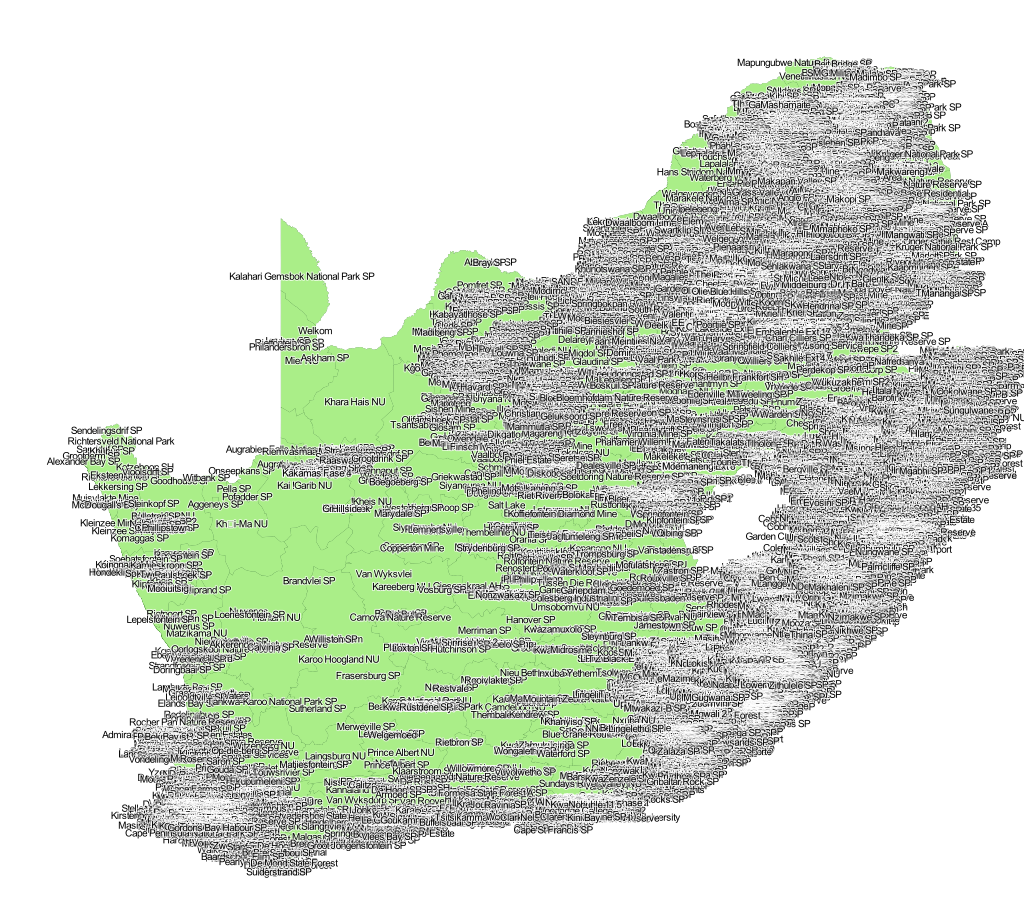
Subplaces

Like, suburbs, dude!

Please note that these are ZIPPED UP becaue of Git's 100MB file limit! If you make changes, zip it up again and add the zip, not the subplace folder.

Source: Statistics SA Census 2011 Spatial Metadata

Subplaces

Main Places

Please note that these are ZIPPED UP becaue of Git's 100MB file limit! If you make changes, zip it up again and add the zip, not the main place folder.

Source: Statistics SA Census 2011 Spatial Metadata

Main places

sa-maps's People

Contributors

j-norwood-young avatar adieyal avatar

Watchers

James Cloos avatar

Recommend Projects

  • React photo React

    A declarative, efficient, and flexible JavaScript library for building user interfaces.

  • Vue.js photo Vue.js

    ๐Ÿ–– Vue.js is a progressive, incrementally-adoptable JavaScript framework for building UI on the web.

  • Typescript photo Typescript

    TypeScript is a superset of JavaScript that compiles to clean JavaScript output.

  • TensorFlow photo TensorFlow

    An Open Source Machine Learning Framework for Everyone

  • Django photo Django

    The Web framework for perfectionists with deadlines.

  • D3 photo D3

    Bring data to life with SVG, Canvas and HTML. ๐Ÿ“Š๐Ÿ“ˆ๐ŸŽ‰

Recommend Topics

  • javascript

    JavaScript (JS) is a lightweight interpreted programming language with first-class functions.

  • web

    Some thing interesting about web. New door for the world.

  • server

    A server is a program made to process requests and deliver data to clients.

  • Machine learning

    Machine learning is a way of modeling and interpreting data that allows a piece of software to respond intelligently.

  • Game

    Some thing interesting about game, make everyone happy.

Recommend Org

  • Facebook photo Facebook

    We are working to build community through open source technology. NB: members must have two-factor auth.

  • Microsoft photo Microsoft

    Open source projects and samples from Microsoft.

  • Google photo Google

    Google โค๏ธ Open Source for everyone.

  • D3 photo D3

    Data-Driven Documents codes.