Warning: This is a work in progress.
The purpose of this repository is to visualize my recent single-engine Atlantic crossing.
The command
bazel run //:plot_map
may or may not produce:

This is a Gnomic projection so straight lines are great circle paths.
When the above command doesn't work, it's probably because you need to run get_dem_data.sh which gets some but not all of the DEMs.
Comment/uncomment the relevant sections at the top of BUILD.bazel.
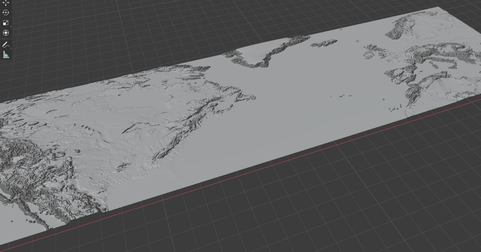
I want to make a 3d model of the earth with these tracks overlaid. I'm using https://github.com/fogleman/hmm to trianguate heightmaps found in various places. Here is a WIP:
bazel build //...
should produce that and other STLs.
I got distracted and did these topobathymetries of the SF bay as well:

